 Nature Nova Scotia, the Young Naturalists Club of Nova Scotia and the Wildland Writers are sponsoring a Nature Writing and Art Contest for Nova Scotian youth ages 8 – 15 years. Submissions may be a written piece (short story, non fiction, poetry ,etc.) OR an original artwork (painting, drawing, collage, etc.) that is inspired by:
- native plants or animals of Nova Scotia (native means a species that occurs naturally in a region)
- an adventure, personal moment, or happy experience in Nova Scotia’s wild places (lake, river, ocean, forest, trail)
- an injustice that impacts nature in Nova Scotia
Entries must be submitted by October 31, 2015. View Rules and Poster for more details.
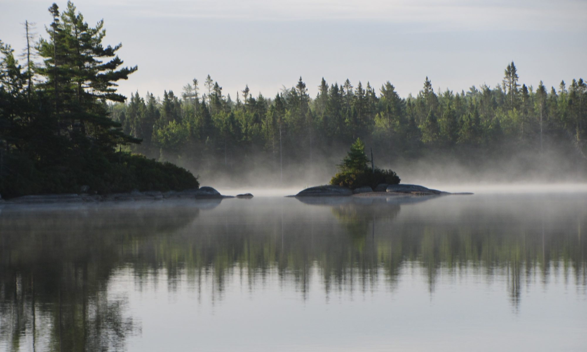
 The Woodens River Watershed encompasses a set of 19 lakes draining into St. Margaret’s Bay at Woodens Cove. Five of 7 of the headwater lakes lie in the vicinity of Hubley, roughly half way across the top of the Chebucto Peninsula travelling via Hwy 103; four of those lakes are moderately settled. The Woodens River develops as a recognizable, singular river – the “Lower Woodens” as it flows out from Hubley Big Lake; it is fast moving, slowing where it widens into each of 7 lakes…


 The Bluff Trail and other activities of WRWEO are maintained by volunteers. Taking out a membership in WRWEO/The Bluff Trail costs only $10 and helps support those activities as well as giving more credence to our collective voice. You can now do this
  Visiting the “Whopper Dropper” today was a reminder of what could have happened to much of our Five Bridge Lakes Wilderness Area and could still happen to still happen to adjacent wildlands if we do not value them… View