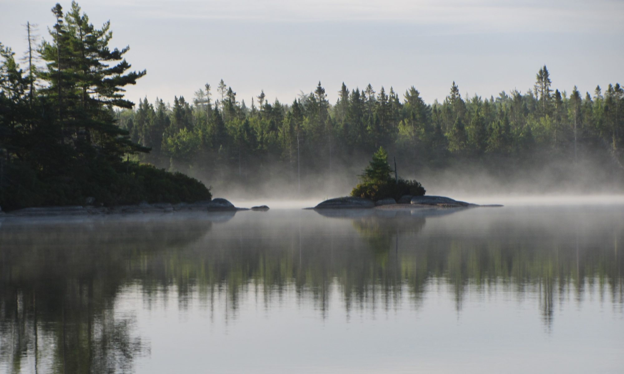
The Woodens River Watershed Environmental Organization (WRWEO) and The Bluff Wilderness Hiking Trail need your help to ensure that the Bluff Trail can continue as a favourite destination for naturalists and outdoor adventurers.
Please make a donation today.
Donations can be made by a cheque written to: St. Margaret’s Bay Stewardship Association and mailed to WRWEO 3650 Hammonds Plains Road, Suite 14, Unit 300, Upper Tantallon, Nova Scotia B3Z 4R3 or online through the Canada Helps portal on the Heart of the Bay website (http://www.heartofthebay.ca/donate) – select: Bluff Trail as the fund you wish to support. Thank you!
The large volume of visitors to the Bluff Trail has resulted in a disturbing increase in the amount and degree of harmful human impacts on the trail, such as: increased garbage including toilet paper, illegal fire pits, cutting of live and dead trees, destruction of lichens and small plants, as well as the widening and braiding of trails.
WRWEO, with the support of Nova Scotia Environment, will collaborate with the St. Margaret’s Bay Stewardship Association to initiate The Bluff Trail Stewardship Program (BTSP). Under the direction of a Stewardship Coordinator, volunteer trail stewards will help trail users learn more about caring for and maintaining the trail and help improve their Leave No Trace (LNT) practices while on the trail.
The creation and management of The Bluff Trail Stewardship Program requires funding that is not available to WRWEO through our usual funding sources. This is why we are asking you to contribute.
Here is a link for information on the BTSP.
UPDATE:
WRWEO raised $535 from Dec 10, 2016 to January 25, 2017, WRWEO also had a commitment for another $1300 (through monthly $50 instalments) for a total of $1,835 of pledged donations.
On January 25th 2017, WRWEO sent a second call to our membership to donate and announced that WRWEO had been approached by an anonymous supporter who had pledged to match any new donations (up to a total of $3 000.00) received before March 1st, 2017. The friends of The Bluff Trail responded with a further $1,450 in donations that will be matched by our anonymous supporter (who provided $1500) for a sub-total of $2,950 plus the $1,835 from the initial request for donations, for a grand total of $4,785.


 Halifax council will be presenting a recommendation Sept 20 on whether to approve a proposal by the Nature Conservancy of Canada to acquire almost 400 acres of land in the Williams Lake backlands and set it aside indefinitely as a wilderness preserve.